Upon seeing the map of the Trail of Tears landmarks in the Springfield area, I got a wild hair and decided to head south and try to find the location where Bell’s Tavern used to be, near the confluence of Wilson Creek and the James River. Although the back roads had more hills than the main road, they were all paved and the going was relatively easy. I was about 7-8 miles committed to this route, which took me East of the Wilson’s Creek Battlefield, when I saw a “Road Closed” sign. I thought to myself a moment, “I bet the bridge across the river is out. I wonder if I can ford it?” I decided to push on. If I was wrong, I’d need to backtrack the mileage and add about 400 ft of elevation gain to the mix. It was a calculated risk.
Not even 5 minutes later, I caught a Trail of Tears landmark sign out of the corner of my eye. I slammed on my brakes. I hopped off the bike and began to push it backwards. As I did this, the front derailer caught a tooth of the largest front gear bending the derailer out of position. Oye! I pulled out my tool kit and set about repairing the problem. One nice lady stopped to offer assistance, but I had it under control.
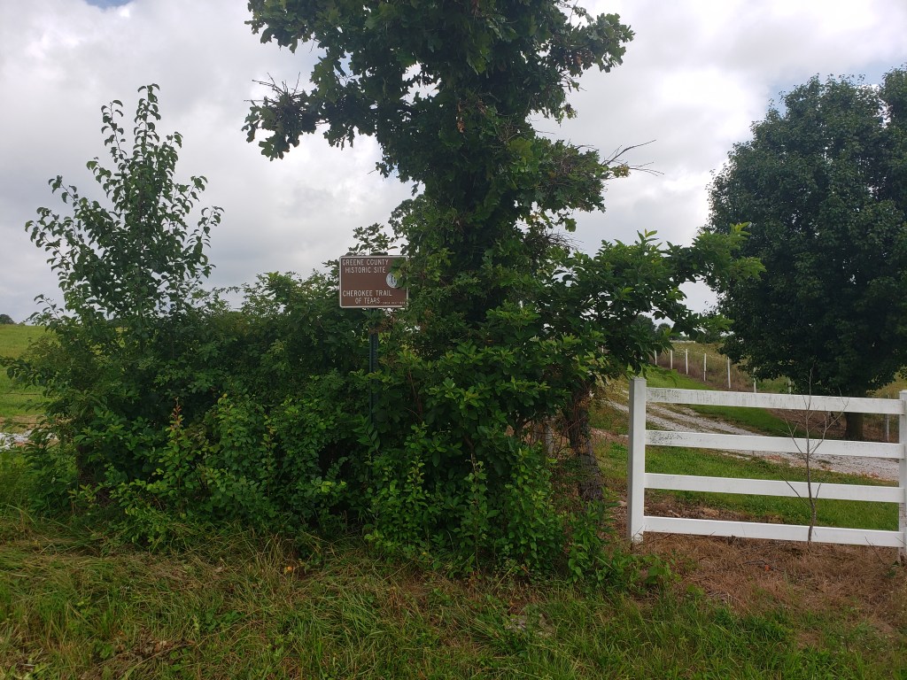
I then paid attention to the landmark sign which was way off of the road, very difficult to see, buried in the trees, and told me very little. I really wish that the NPS would put the signs in better locations and include more info about each site. From what I’ve read in Butrick’s journal, this locale was one of the Cherokee campsites and is where Dreadful Water died. There was nothing else to see here, so I moved on.
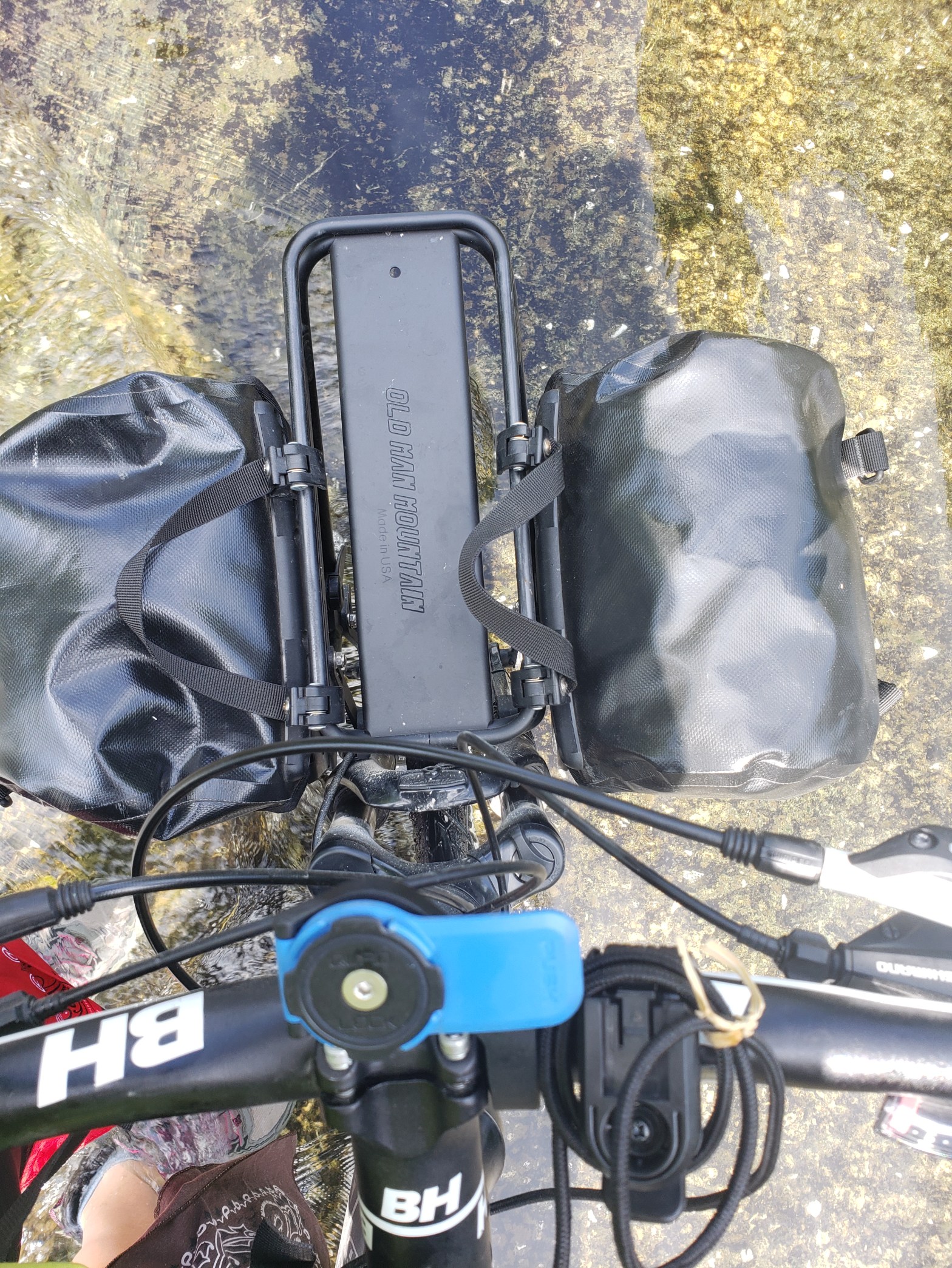
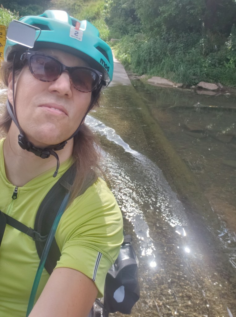
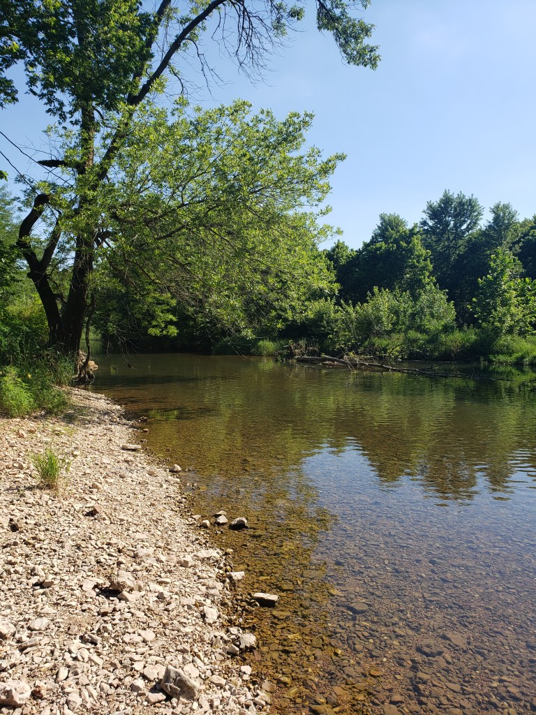
I quickly descended in elevation as I neared the confluence of the rivers and discovered that the water level was high enough to have submerged the bridge. So, the silver turkey and I made our first river crossing.

From there, the rest of the day was a mix of flat main roads and twisting, gravel back roads next to a gorgeous creek. One of the gravel roads turned out to be the old telegraph wire road, as in the road which had the first telephone poles which held the telegraph wire. Old school indeed! The Cherokee used this road on the Trail of Tears for much of Southern Missouri and Arkansas.

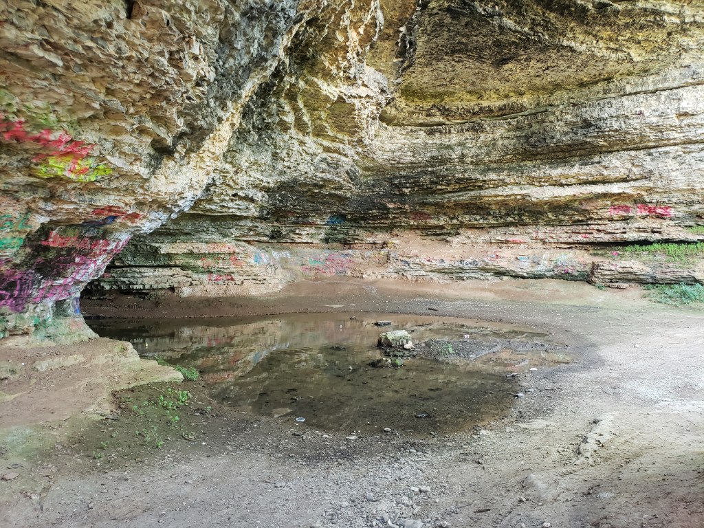
Missouri has a large number of caves, and I passed some random, unmarked, and beautiful ones along this stretch of roadway. Many of these seemed like they would have made good camping spots for small portions of the detachments. But, I have not found any reference to this, so I suspect that they were never used for this purpose. That’s a shame.

Damn I think this is my favorite post so far. Well done!
LikeLiked by 1 person